Scientist of the Day - Andrew A. Humphreys
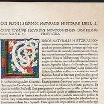
Andrew Atkinson Humphreys, an American army officer and civil engineer, was born Nov. 2, 1810. Humphreys joined the Corps of Topographic Engineers after graduating from West Point and had a rather ordinary career until, in 1850, he was selected to head up a survey of the Mississippi River, in order what to determine why the river flooded so often and what was causing the regular silting up of ports at the river's mouth. He threw himself into the task, spent years gathering an incredible amount of data, and after an interruption of three years (we will discuss this interruption below), he began to write his report, with the aid of his assistant, Henry L. Abbot. It was finally completed and published in 1861, titled: Report upon the Physics and Hydraulics of the Mississippi River (second image). It is a massive, 500 page, large-quarto volume, and incredibly detailed, filled with charts and tables, by far the most thorough survey of any American waterway through the end of the 19th century. Among his many conclusions, Humphreys advocated the building of levees all along the lower Mississippi to control flooding, and the dredging of the river mouth to free up the ports.

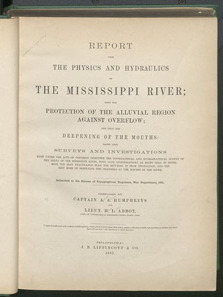
Title page, Report upon the Physics and Hydraulics of the Mississippi River, by Andrew A. Humphreys and Henry L. Abbot, 1861 (Linda Hall Library)
To the non-engineer, the most attractive feature of the Report are the two large folding maps at the end, charting the entire Mississippi River basin from its origins at Lake Itasca in Minnesota to where it empties into the Gulf of Mexico (first map), and the alluvial delta (second map). We reproduce here the entire first map (third image, below), just to show its scope, even though it is hard to read at this scale, as well as two details, of New Orleans and the lower delta (from the second map; fourth image, below), and of Lake Itasca, from the first map (fifth image, below)

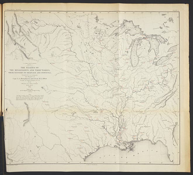
Map of the Mississippi, Missouri, and Ohio River basins, in Report upon the Physics and Hydraulics of the Mississippi River, by Andrew A. Humphreys and Henry L. Abbot, 1861 (Linda Hall Library)

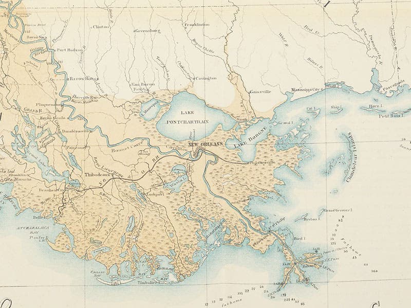
The Mississippi River delta near New Orleans, detail of the second map, in Report upon the Physics and Hydraulics of the Mississippi River, by Andrew A. Humphreys and Henry L. Abbot, 1861 (Linda Hall Library)

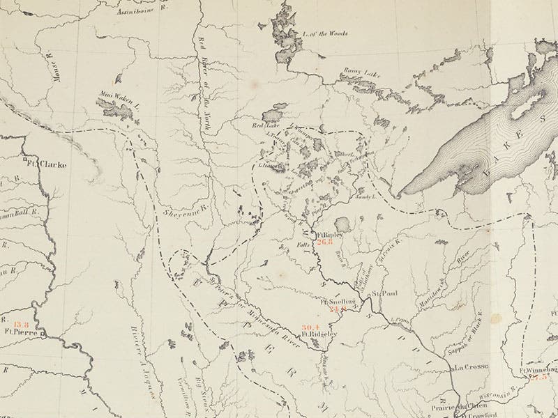
Lake Itasca in Minnesota, source of the Mississippi River, detail of third image (Linda Hall Library)
Humphreys was interrupted in his Mississippi River survey because in 1854, Secretary of War Jefferson Davis asked him to take charge of the Office of Pacific Railroad Explorations and Surveys. In 1853, Congress had authorized four expeditions to search out the best route for a transcontinental railroad, surveying along the 32nd, 35th, 38th-39th, and 47th-49th parallels. The surveys undertaken soon swelled to seven, as expeditions were sent north and south in California to connect with the east-west routes. Each expedition had a commander, who was usually a member of the Corps of Engineers, a military contingent, various scientists such as botanists and geologists, and at least one artist. The engineers surveyed, the scientists collected, the artists drew, and the commanders then had to write exhaustive reports of their findings. Humphreys oversaw everything, collected all the reports, and saw to the publication of the Pacific Railroad Reports, which were issued in 13 quarto volumes between 1855 and 1861. He was also in charge of the cartographers who had to turn the survey data into maps to include with the Reports. It was a monumental editorial undertaking, and successful beyond anyone’s expectations. The decision to select a railroad route had yet to be made, and it would be a political decision when it was made, but as a result of the railroad surveys, much of the West had now been explored, surveyed, and mapped in exemplary fashion, and in just a few years. Humphreys deserves as much credit as anyone for the success of the railroad surveys.

Title page of vol. 1 of the Pacific Railroad Reports, edited by Andrew A. Humphreys, 1855 (Linda Hall Library)
We have several complete sets of the Pacific Railroad Reports, one in our History of Science collections, and one in our Government Documents collection. The volumes are quite attractive because, being paid for by the government, no expense was spared in illustrating the Reports, each of which contains dozens of images, most of them full-page colored lithographs. We displayed many of them in an exhibition we mounted in 2004, called Science Goes West. The exhibition was never installed online, which is too bad – it was a popular exhibition, with some unusual material on display. If you would like to see some of the images, we have written posts on Amiel Weeks Whipple, Albert H. Campbell, John Mix Stanley (one of the artists), and Gouverneur Warren, who was responsible for many of the maps included in the Reports, and who was singled out for thanks in Humphreys’ introduction to the first volume of the Reports (seventh image, below).

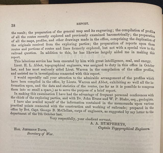
Second and last page of the introduction to vol. 1 of the Pacific Railroad Reports, signed by Andrew A. Humphreys, thanking his cartographers and assistants, 1855 (Linda Hall Library)
Humphreys became Chief of Army Engineers during the Civil War, and after the war, took over the Corps of Topographical Engineers. Unfortunately, in 1875, he butted heads with James Buchanan Eads, a civilian engineer who advocated the building of jetties at the mouth of the Mississippi River, to prevent silting. Humphreys had already run afoul of Eads when Humphreys objected to Eads’ proposed bridge over the Mississippi at St. Louis (see our post on Eads). Humphreys resisted the jetty proposal loudly and strongly, said jetties would never work, and was overruled by President Grant; the jetties were built, and they did the job, just as Eads had predicted. That was about it for Humphreys’ career.
Fortunately, no one can ever take the successes of his Mississippi River Survey, or the Pacific Railroad Reports, away from him.
Dr. William B. Ashworth, Jr., Consultant for the History of Science, Linda Hall Library and Associate Professor emeritus, Department of History, University of Missouri-Kansas City. Comments or corrections are welcome; please direct to ashworthw@umkc.edu.