Scientist of the Day - Pomponius Mela

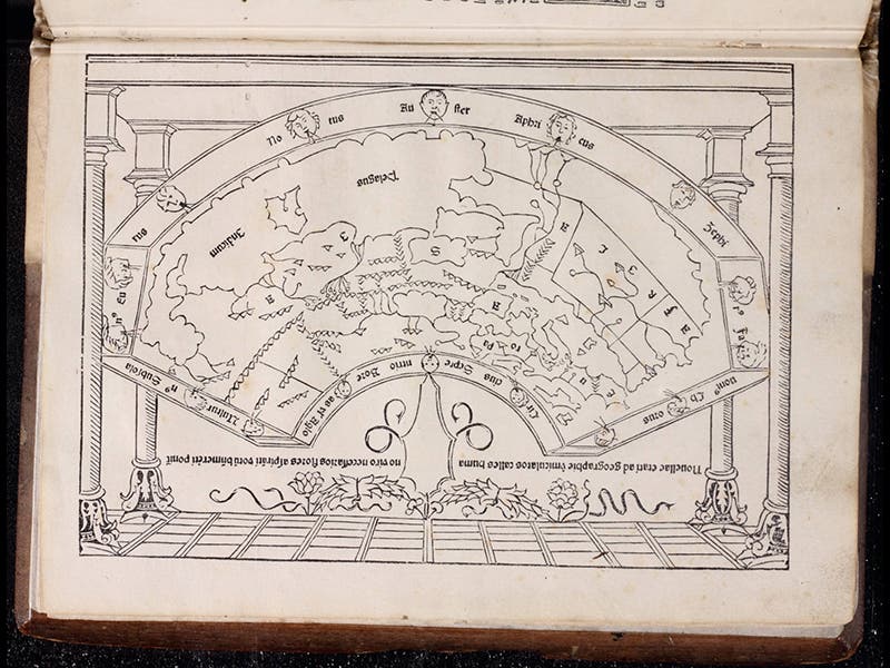
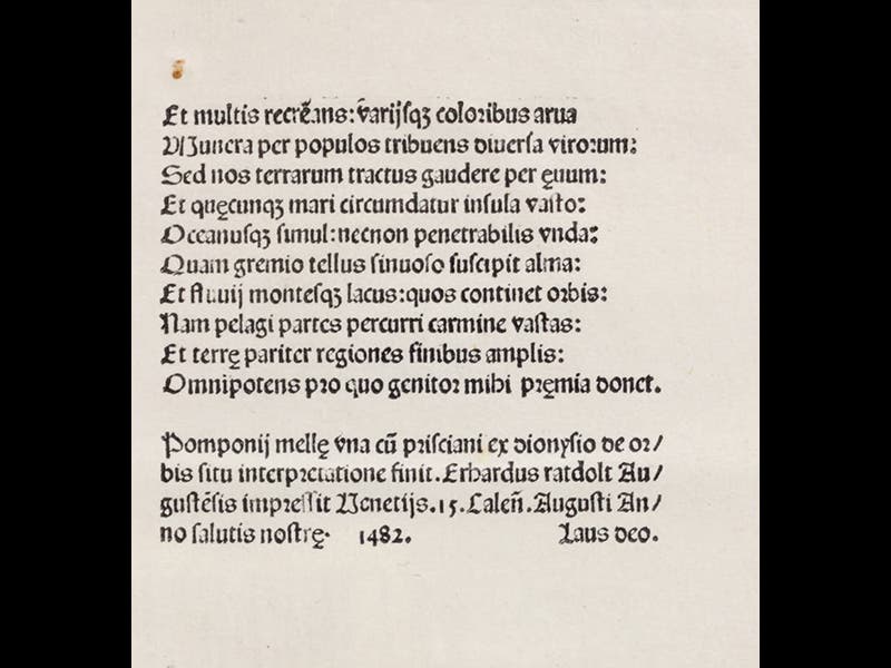
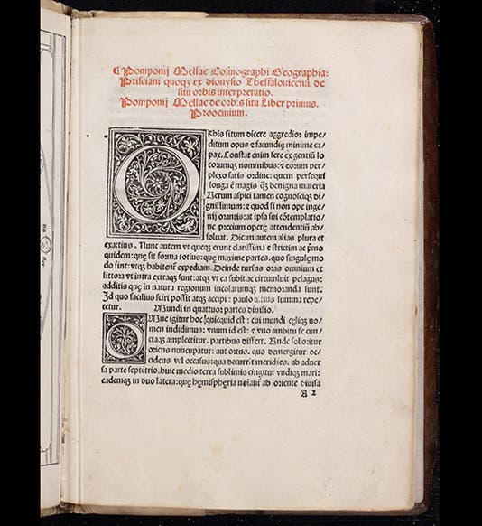
On July 18, 1482, the German printer Erhard Ratdolt published an edition of Pomponius Mela's De situ orbis libri III, Three Books on the Situation of the World. The first image shows the first page of our copy—title pages had yet to be invented. Mela lived in the first half of the first century C.E., and his book is one of only two surviving sources on geography in Roman times, the other being the appropriate sections of Pliny's Natural History, written 30 years later. Although Mela's book had been first printed in 1471, the edition that appeared on this day in 1482 is notable because it contains a frontispiece map (second image), depicting the world as known to the Romans. The map is rather small and short on details, but it is handsomely poised on a colonnaded portico, and it is the oldest world map we have in the Library. The colophon at the end (third image) reveals the day of publication, although it takes a little wizardry to convert “15 Kalends August” to July 18.
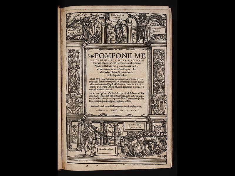
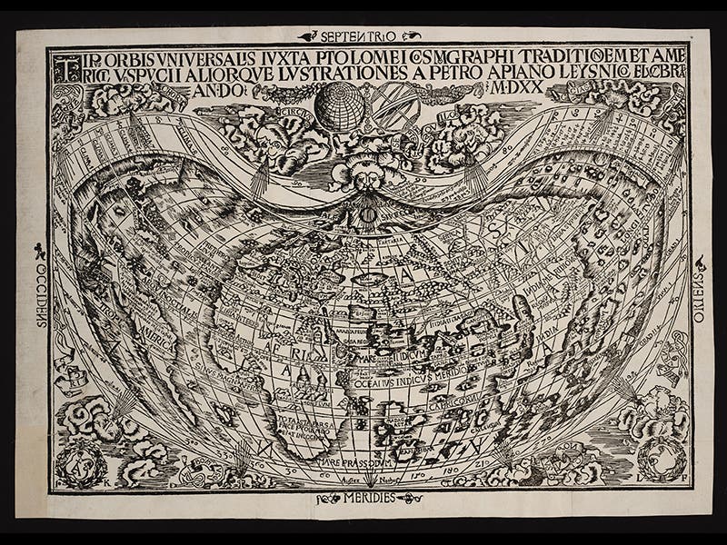
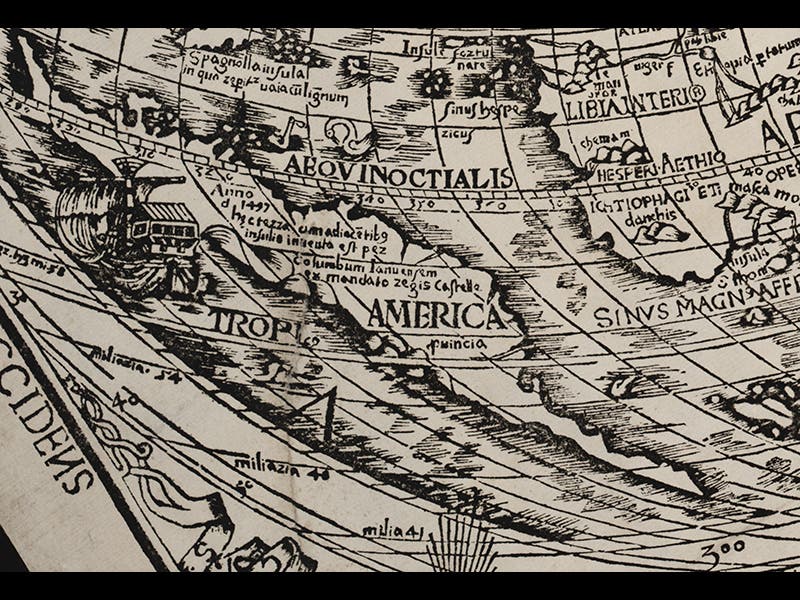
Exactly forty years later, another edition of Mela’s De situ orbis was published in Basel, by the Swiss scholar Joachim Vadian; the fourth image shows the woodcut title page. This edition also contains a world map (at least our copy does--the map may have been added to selected copies only). There is literally a world of difference in the two woodcuts. The later map (fifth image; it carries its own date of 1520) was executed by Peter Apian and is based on the 1507 world map of Martin Waldseemüller. The unique surviving copy of that map is on display in the Library of Congress and it notable for introducing the term "America" for the newly discovered New World. Apian's map also employs America as a label, and it is the first map in a printed book to do so (see detail, sixth image). Our copy of the map has been mounted on linen, folded, and preserved in a pocket at the end of Mela's book, which no doubt accounts for is fresh appearance and lack of tears. It is the third-oldest world map we have in the Library, and in terms of condition, our finest.
Dr. William B. Ashworth, Jr., Consultant for the History of Science, Linda Hall Library and Associate Professor, Department of History, University of Missouri-Kansas City. Comments or corrections are welcome; please direct to ashworthw@umkc.edu.