Scientist of the Day - Pierre-Simon Girard
Pierre-Simon Girard, a French civil engineer, was born Nov. 4, 1765. Girard was appointed chief engineer on the Napoleonic expedition to Egypt, 1799-1802, which meant he oversaw all those eager young graduates of the technical schools in Paris that Napoleon had brought along. They were included because the scientific planners intended to do extensive topographic survey work in Egypt. But when the newly graduated engineers learned of the antiquities that were coming to light in Thebes, Karnak, Dendera, and Philae, they got very excited and wanted to divert their attention to mapping and sketching ancient temples and monuments. Girard would have none of this; he maintained, perhaps rightly, that they were brought to Egypt to map rivers and canals and roads, and that drawing plans of temples was a waste of time. Fortunately for history, Girard could be in only one place at a time, and the engineers at all the other places did not hesitate to apply their skills to recording antiquities. When Girard was around, they did what he wanted, and so they did manage to map modern Egypt in an exemplary fashion, although we now prefer to pay attention to their plans and elevations of the ruined temples of ancient pharaohs.
In Girard’s' defense, he was very good at civil engineering, and when he returned to France, he was appointed engineer in chief of the department of bridges and roads, and put in charge of constructing a canal to provide much needed drinking water to the city of Paris. The proposed canal was called the Canal de l'Ourcq, because it brought water from the Ourcq river, about 70 miles east of Paris. It was not an especially challenging task, as the canal-way was fairly level and required only 10 locks. But it also required building bridges along the way, usually lift bridges or bascule bridges to allow easy passage for ships. The canal was nearly completed by 1813, but when Napoleon fell from power and the monarchy was restored, work stopped, and the canal was not fully finished until 1820.
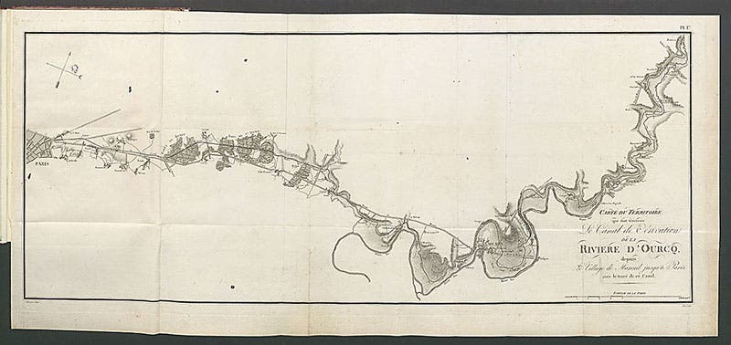
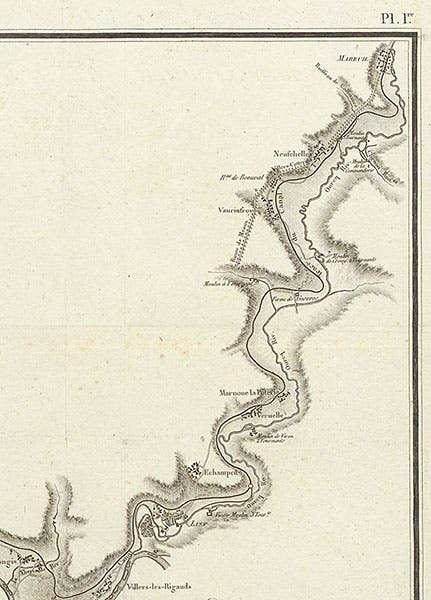
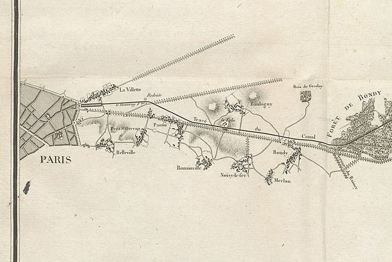
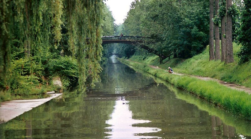
We have 8 books by Girard in our history of science collection, nearly all of them about canals or public water systems. For this occasion, I choose to highlight his first book on the Canal de l'Ourcq, called Devis general du canal de l'ourcq (1806), published when work on the canal had only just begun. It has an especially nice folding map of the path of the canal as a frontispiece. We show you the entire map (second image); a detail of the Ourcq River from the right of the map (third image, above), and a detail of the canal path as it enters Paris, from the left of the map (fourth image, just above). The slight swelling at the end of the canal is an artificial lake (really a reservoir) called the Bassin de la Villette. The canal is still in use, as we see in a photograph (fifth image, below).
Interestingly, a canal connecting the Ourcq and the Seine rivers was first proposed by Pierre-Paul Riquet, who built the Canal du Midi in the 1670s, but nothing came of his proposal until Napoleon reinvented the idea in 1803. We wrote a post on Riquet just last year.
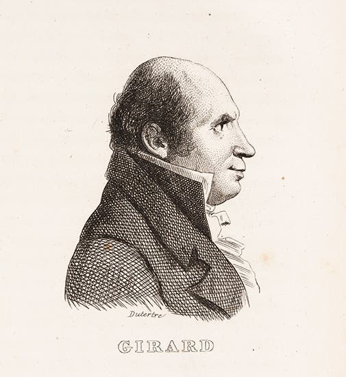
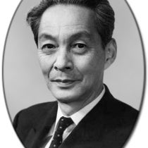
The portrait we show of Girard (first image) was sketched from life in Egypt around 1800 by André Dutertre. Dutertre sketched nearly everyone on Napoleon’s expedition to Egypt, and hundreds of these portraits were published in Louis Reybaud’s Histoire de l'expedition francaise en Egypte (1830-36), which we have in our collections. Dutertre was one of those whom Girard admonished for wasting his time drawing antiquities, and perhaps Dutertre revealed some of his feelings about that in his sketch of Girard.
Dr. William B. Ashworth, Jr., Consultant for the History of Science, Linda Hall Library and Associate Professor emeritus, Department of History, University of Missouri-Kansas City. Comments or corrections are welcome; please direct to ashworthw@umkc.edu.

