Scientist of the Day - Howard Stansbury
Howard Stansbury, a captain in the U.S. Army Corps of Topographical Engineers, was born Feb. 8, 1806. In 1849, he was commissioned to lead a contingent from Fort Leavenworth, Kansas, to the Great Salt Lake, where he was to conduct a topographic survey of the region. He commanded a party of 18 men, with Lt. John Gunnison as second in command. The plans for the expedition were so rushed that they were unable to secure the services of even a single naturalist. Nevertheless, it was a highly successful scientific expedition. Stansbury and Gunnison were the first to circumnavigate Great Salt Lake, and to explore the desert region west of the Lake, which even the mountain men had avoided. They made a trigonometric survey of the area, which involved laying out a precise base line along Utah Lake to the south. They also visited and mapped each of the islands in the Great Salt Lake, one of which is named after Stansbury, and one for Gunnison.

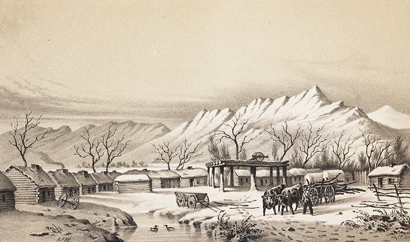
Fort Utah, near Provo, from Stansbury, Exploration and Survey, 1852 (Linda Hall Library)
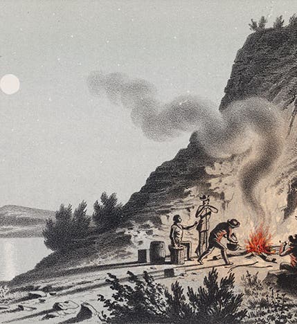
After his return in 1850, Stansbury published a narrative of the expedition, Exploration and Survey of the Valley of the Great Salt Lake of Utah (1852), which is copiously illustrated with tinted lithographs. We have the book in our collections, and all the images here have been taken from that work. The most charming is the one we lead with, since the campfire has been colored red by hand (we assume this was the case with all copies). But the view of Fort Utah, with its snow-covered cabins and oxen-at-the-ready, comes a close second in the charm department (second image).

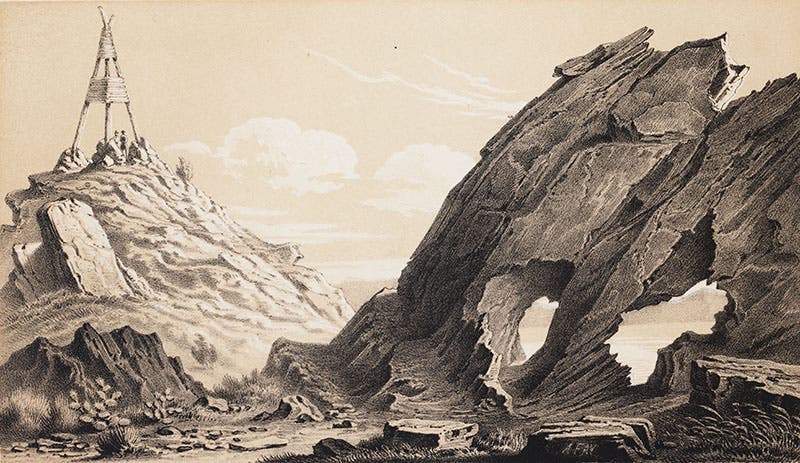
Triangulation station, and mica schist, from Stansbury, Exploration and Survey, 1852 (Linda Hall Library)
The book also provides several views of the triangulation stations that had to be erected for the trigonometric survey; we show one that has the bonus of a mica-schist formation in the foreground (third image). These towers were made of wood, and since there are no trees in the Great Basin, timber for the towers had to be hauled by mule teams from distances up to thirty miles away.

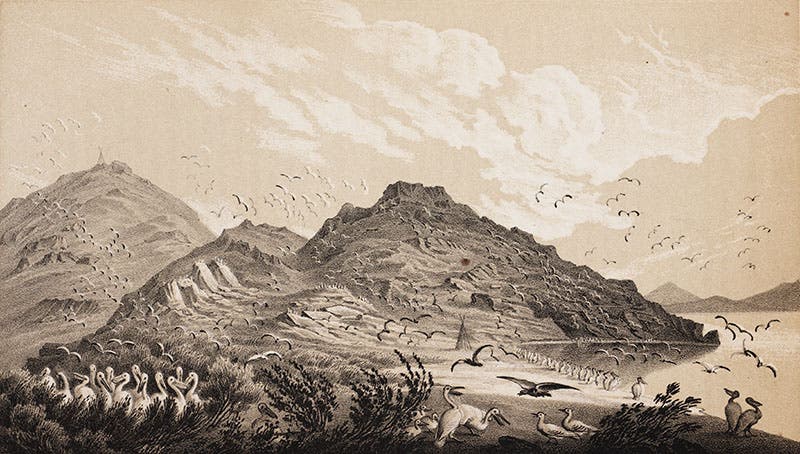
Pelicans and gulls on Gunnison’s Island, Great Salt Lake, from Stansbury, Exploration and Survey, 1852 (Linda Hall Library)
Our other images show flocks of pelicans and gulls in Great Salt Lake (fourth image), and a pair of horned toads from one of the book’s appendices (fifth image). All of the specimens collected were distributed to experts, such as Spencer Baird of the Smithsonian Institution, who compiled the appendices that discuss the flora, fauna, and geologica of the Great Salt Lake area.

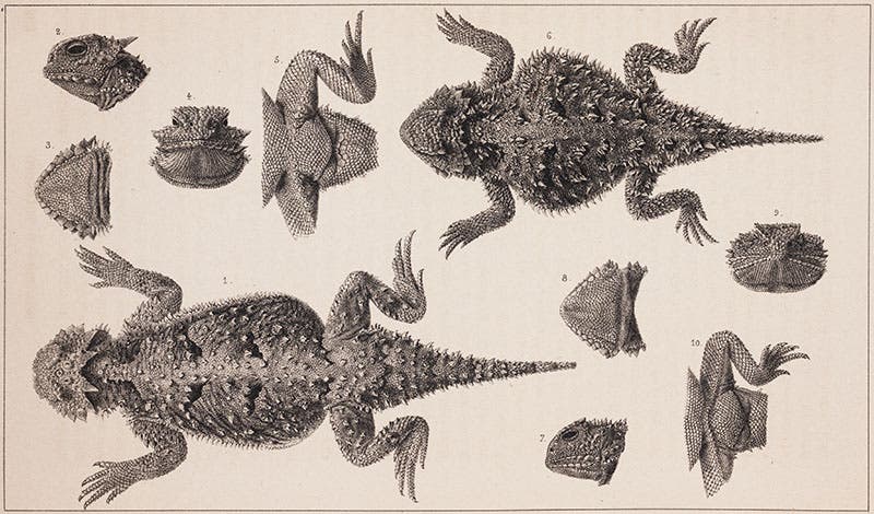
Horned toads, from Stansbury, Exploration and Survey, 1852 (Linda Hall Library)
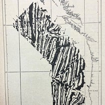
One important byproduct of the expedition was a new map of the Utah area and the routes to it, which was printed and included in Stansbury’s book, filling in detail that was just empty space on earlier maps. We elected not to unfold the map in our copy for this occasion, since there is a handy zoomable version available online, on a dealer’s website. If you click on the map and then move about and zoom using the symbols at the bottom, you can find and read every feature of the map. We recommend heading for the blue area at far left, which is Great Salt Lake, where you might try finding the islands of Stansbury and Gunnison in the lake. Or you might check out the legend at bottom left, where Stansbury is credited for the expedition and Gunnison for drawing the map.
Dr. William B. Ashworth, Jr., Consultant for the History of Science, Linda Hall Library and Associate Professor, Department of History, University of Missouri-Kansas City. Comments or corrections are welcome; please direct to ashworthw@umkc.edu.